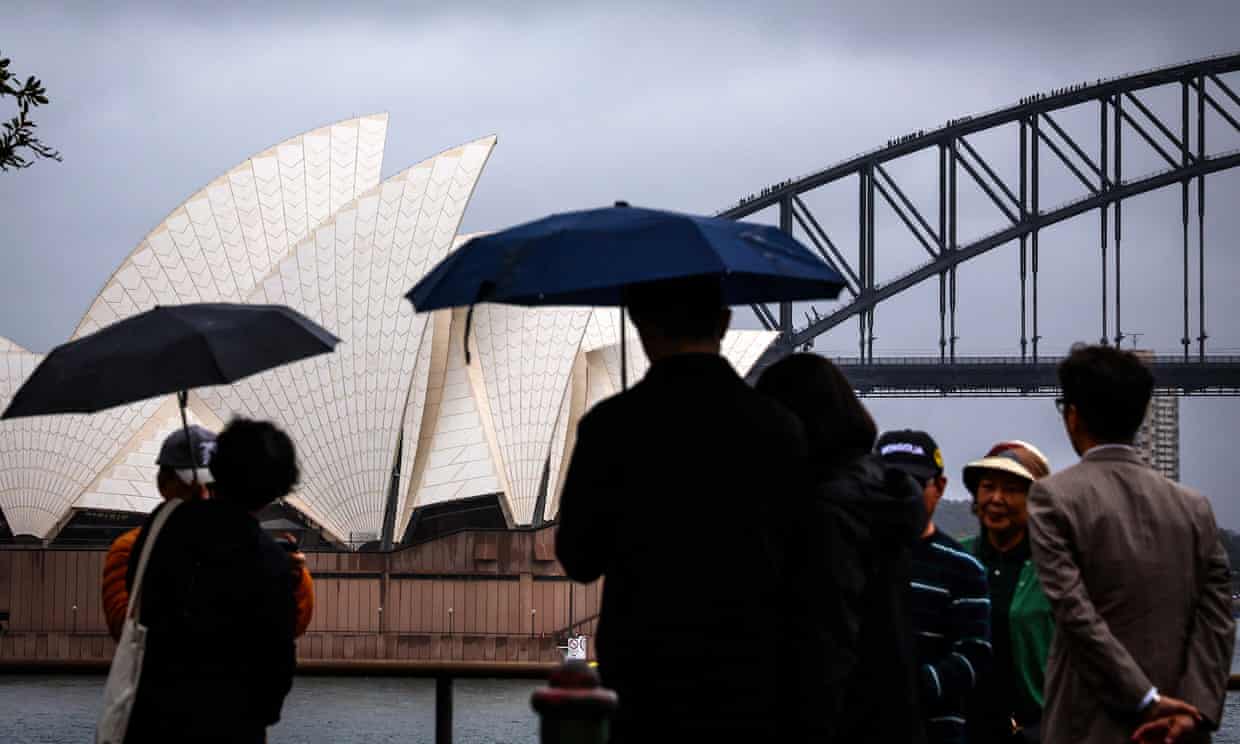
Thunderstorm conditions extending from Mackay in Queensland to Melbourne, with BoM warning weather may change quickly
Queensland was lashed with severe thunderstorms on Sunday, with giant hail and huge downpours of up to 43mm in just 15 minutes recorded in northern Brisbane.
The Bureau of Meteorology warned that much of Australia’s east coast had a high chance of showers late Sunday, which would continue into Christmas Day.
In Sydney, showers, a 27C maximum and the chance of a thunderstorm are expected on Monday.
Rain is also expected to fall in Melbourne on Christmas Day, where 23C is forecast and a possible thunderstorm could develop. Canberra could see up to 50mm of rain on Monday, when there was a forecast maximum temperature of 23C.
This came after thunderstorms hit Queensland’s south-east on Sunday, with rain expected to continue on Monday, when Brisbane’s temperature is forecast to reach 33C, and into Boxing Day.
Intense thunderstorms rolled over Brisbane and the Gold Coast on Sunday afternoon, where Queensland police said they had received reports of fallen trees, power lines being down and flash flooding.
More than 56,000 customers in south-east Queensland were without power at 2.45pm local time.
Reports of fallen trees, power lines down and flash flooding occurring in some of the location in the warning areas across South-east Queensland: including Holland Park, Tamborine Mountain, Elimbah, Beenleigh, Greenbank, Gold Coast and others.https://t.co/Nw5YMECNbA pic.twitter.com/B5EXO7sJfW
— Queensland Police (@QldPolice) December 24, 2023
Felim Hanniffy, a senior BoM forecaster, said the storm moved through Brisbane’s northern suburbs of Dayboro and Strathpine, before moving up to Caboolture and Redcliffe.
“We did get reports of 8cm hail there at Dayboro,” he said. “Even up around Burpengary as well [there were] reports of 9cm hail and unconfirmed reports of 15cm hail.”
The BoM also recorded intense rainfall as the storm passed, with Wivenhoe Dam recording 58mm in half an hour – 43mm of this in just 15 minutes.
Hanniffy said the storm cell hadmweakened as it moved north of Brisbane and hit parts of the Sunshine Coast and inland on Sunday afternoon. Hanniffy said the atmosphere remained “very unstable” and the thunderstorm risk would continue through Christmas and Boxing Day.
Senior BoM meteorologist Angus Hines said on Sunday that warm ocean temperatures off the east coast were blowing inwards, causing widespread humidity that “provides a fuel to feed these big thunderstorms”.
A low pressure centre near the border of Victoria and New South Wales was forecast to develop on Sunday and intensify on Christmas Day, resulting in thunderstorm conditions from Mackay in Queensland all the way down to Melbourne.
“Some of those places [are] likely to get some brighter, clearer, sunny weather through the morning, but if thunderstorms do develop, they can change the weather really quickly,” Hines said.
“Keep half an eye on the weather warnings and half an eye the radar, see if there are any big thunderstorms or severe thunderstorms near your area, and probably having an indoor option for your Christmas lunch is a good idea.”
The areas likely to face severe thunderstorms on Monday include northern and north-east NSW, as well as central and south-east Queensland. Hail stones larger than 5cm were seen inland of Brisbane on Saturday night.
“[It’s] certainly plausible that we see some more hail of that size, that calibre again on Christmas Day,” Hines said.
Far north Victoria and southern NSW were also set to face severe thunderstorms on Monday as the tropical low develops.
Brighter conditions were being felt throughout much of the rest of the country on Christmas Day.
Darwin and Hobart are both forecast to be partly cloudy, with highs of 34C and 21C respectively. Adelaide is expected to be cloudy with a medium chance of showers and a maximum temperature of 20C.
In Western Australia, heatwave conditions and bushfire warnings remain in place for parts of the state. The state was lashed with hot and dry conditions last week, causing widespread bushfires that destroyed homes in Perth’s east.
Clear, dry and sunny conditions were forecast on Monday, with a top of 35C for Perth. While this is “good for the beach or barbecue”, Hines said it also meant an elevated fire risk for the south-west, where a number of bushfires were burning.
